
Implementation of Integrated Coastal and Marine Spatial Planning of Bontang

By: Ario Damar
Organisation: Centre for Coastal and Marine Resources Studies, Bogor Agricultural University
Location: Bontang City, Indonesia
23 July 2015
Integrated Spatial Plan. © A. Damar
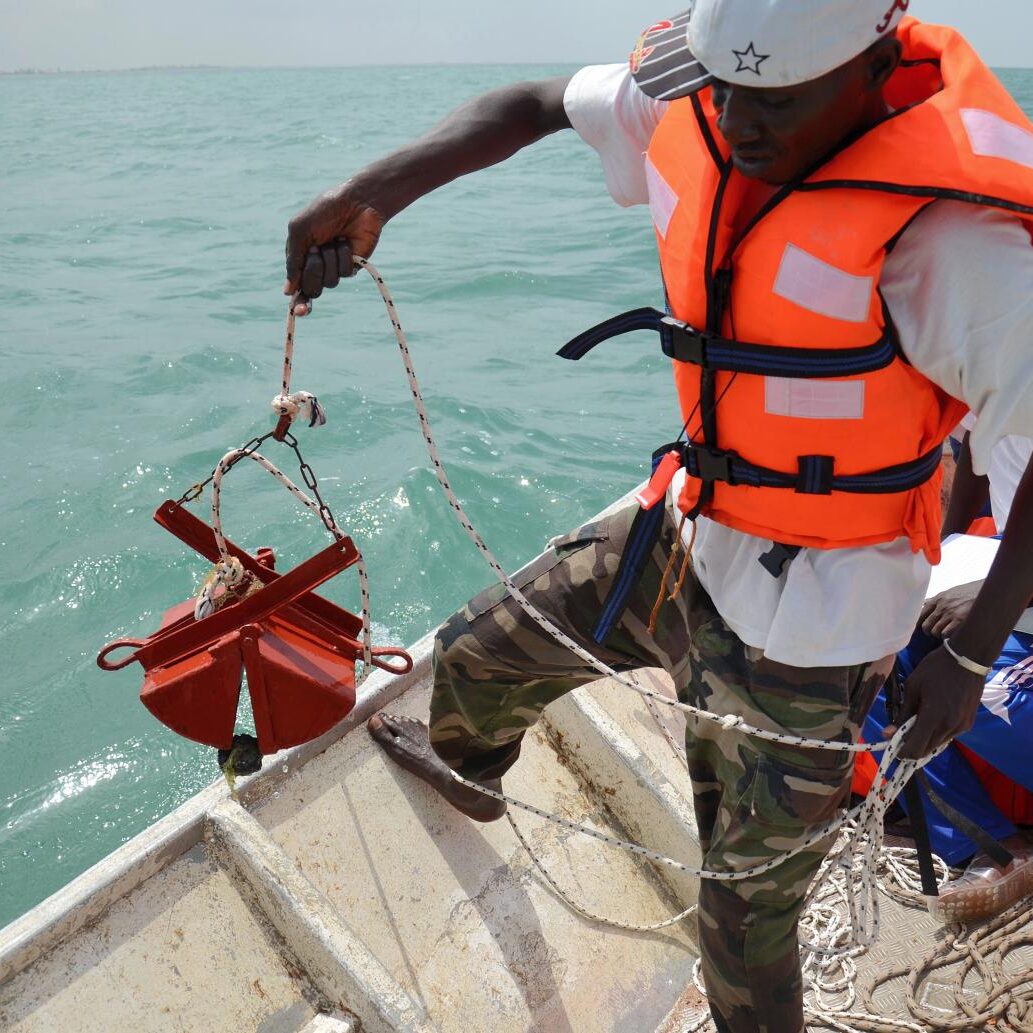
Summary: The new integrated spatial plan of Bontang City has been adopted by the local parliament in 2012 and is being implemented in parts. It now includes both land and marine areas with its mangroves, coral reefs and seagrass beds located within four miles from the shoreline. It is the first example of the implementation of the Indonesian Law No 26/2007 on Spatial Planning and Law No 27/2007 on Coastal Area and Small Islands Management to be applied in coastal districts/cities in Indonesia.
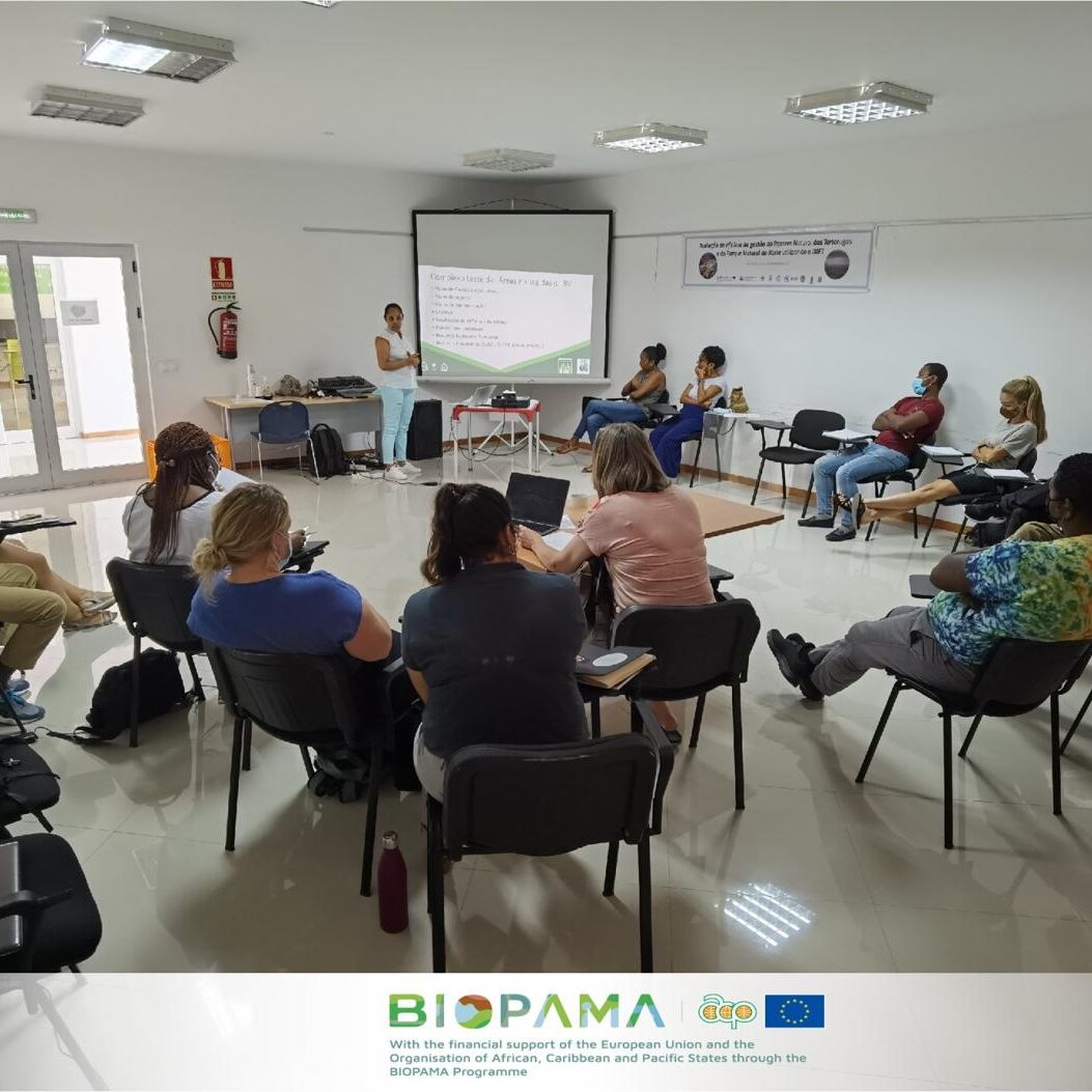
To share the wealth of global knowledge on the aspects of Integrated Ocean Management (IOM) with the 22 countries of the Abidjan Convention’s region, the Mami Wata project takes advantage of existing IOM solutions that have been successfully implemented already. The Blue Solutions presented here are part of and featured on the Marine and Coastal Solutions Portal on the PANORAMA platform. These solutions are being contributed by a broad range of providers from across the planet.